


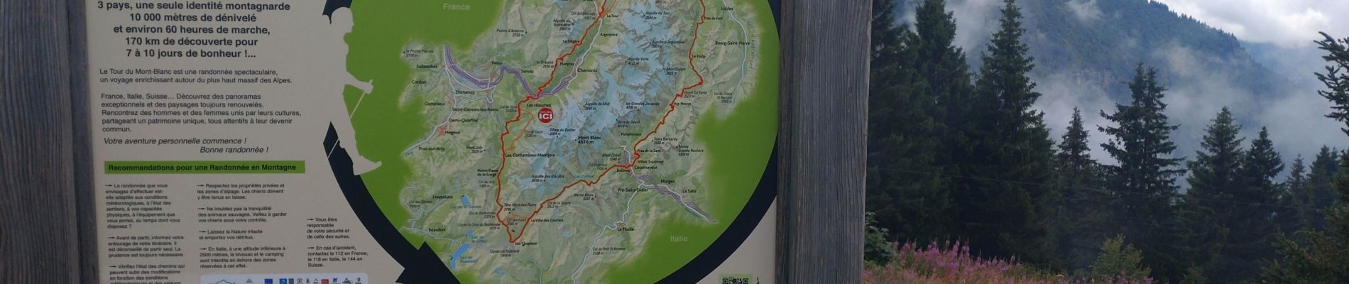
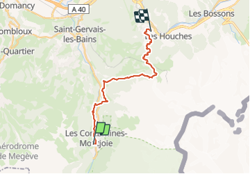
TMB JOUR 7 - CONTAMINES MONTJOIS / LES HOUCHES

okfred26
User

Length
19.3 km

Max alt
1799 m

Uphill gradient
984 m
Km-Effort
33 km

Min alt
1011 m

Downhill gradient
1138 m
Boucle
No
Creation date :
2023-08-05 05:55:34.329
Updated on :
2023-08-05 13:14:36.32
7h17
Difficulty : Very difficult

FREE GPS app for hiking
 SityTrail
IGN / Geographical institutes
SityTrail Plus
The world is yours!
About
Trail Walking of 19.3 km to be discovered at Auvergne-Rhône-Alpes, Upper Savoy, Les Contamines-Montjoie. This trail is proposed by okfred26.
Photos


Positioning
Country:
France
Region :
Auvergne-Rhône-Alpes
Department/Province :
Upper Savoy
Municipality :
Les Contamines-Montjoie
Location:
Unknown
Start:(Dec)
Start:(UTM)
323262 ; 5076214 (32T) N.
Comments